How to Approach a New Trail System Without Getting Lost or Overmatched
A new trail system can turn a simple ride into a confusing mix of junctions, difficulty ratings, and limited daylight. I’ll help you compare the options, choose a forgiving first loop, and build in enough margin for navigation mistakes or an unexpected hike.
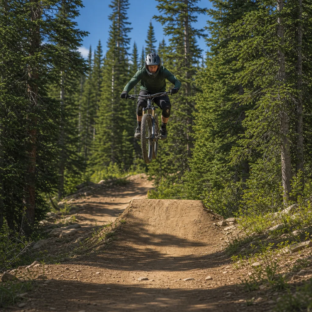
Arriving at a new trail system can make even a confident beginner hesitate. The map may show dozens of connected trails, the difficulty colors may not match what you know from home, and the most obvious loop may quietly include the steepest climb or a technical descent. The goal isn’t to ride everything on your first visit. It’s to choose a route that lets you learn the terrain without making navigation or difficulty the main challenge.
A good first ride balances three things: how hard the trails are, how easy the route is to follow, and how much time and energy you have left if something goes wrong. Those priorities can point toward different routes. A short, popular loop may be busy but easy to navigate. A longer out-and-back may offer better scenery and fewer junctions but leave you farther from the trailhead. A carefully chosen beginner loop is usually more valuable than an ambitious route that forces you to rush.
Research the system before you arrive
Start with the trail system’s official map or land-manager information, then compare it with a current mapping service or local trail organization. The official source is usually the best place to look for closures, one-way rules, access restrictions, seasonal conditions, and emergency information. Community maps can be useful for recent trail notes and route planning, but they may contain outdated descriptions or user-created lines that aren’t official trails.
Look beyond the total mileage. Identify the trailhead, the direction of travel, the major junctions, and the points where you could shorten the ride. A route with several bailout options may be a better first choice than a shorter route with no practical way back once you’re committed. Notice whether the system is a compact loop network or a collection of trails that branch deep into the surrounding terrain. The latter can be enjoyable, but it demands more attention to location and turnaround time.
Trail names can also be misleading. A route called a loop may include a connector, a road crossing, or a section where you need to retrace part of the trail. Check the map’s contours or elevation profile if available. A route that looks short on a flat map may involve a sustained climb, while a route with modest elevation gain can still contain short, steep pitches that are difficult for a beginner.
Check the day’s conditions: Before you commit to a route, confirm current closures, weather, trail status, access hours, and any local riding-direction rules through the trail system’s official source. Wet-weather policies and seasonal restrictions vary considerably between regions.
Translate difficulty ratings cautiously
Difficulty ratings are useful for narrowing your choices, but they aren’t a universal language. A green trail at one system may be smoother and wider than a green trail somewhere else. Soil, rocks, roots, exposure, trail width, braking demands, and the consequences of a mistake all affect how difficult a trail feels. Some systems rate the trail’s technical features, while others seem to reflect its overall fitness demand or the typical rider’s experience.
Read the description for details rather than relying only on color. Look for words such as smooth, rolling, flowy, rocky, rooty, steep, exposed, narrow, or technical. “Advanced” can refer to sustained technical riding, a single difficult feature, or a remote location where help is less accessible. Likewise, an easy-rated trail may still have a climb that challenges a new rider’s fitness.
Photos and recent ride reports can help you form a more realistic picture, especially when they show typical trail surfaces rather than only scenic viewpoints. Treat them as supporting evidence, not a guarantee. A photograph from a dry summer day won’t tell you how the same rock garden behaves after rain, and an experienced rider’s “fun warm-up” may be a serious obstacle for someone still developing braking and body-position skills.
For a first visit, select a route that is clearly within your current ability, not one that you hope will be manageable. You should expect a few moments that require concentration, but you shouldn’t need to make repeated high-consequence decisions just to stay on the trail. Walking a short section is normal; building an entire ride around features you may have to walk is a sign that the route might be too ambitious for now.
Choose an introductory route with options
A useful first loop is easy to describe, easy to shorten, and long enough to show you what the system is like. A loop of roughly an hour or two may be appropriate for many beginners, but mileage alone is a poor guide. Adjust for climbing, surface, heat, humidity, and how much time you normally spend riding. Your first route should leave some energy for finding your way back, not use every reserve before the final junction.
An out-and-back has one major advantage: you only need to learn one route. You can turn around when the terrain, weather, or time starts working against you. Its drawback is that you may need to ride a difficult section in both directions, and the return can feel longer than expected. A loop offers more variety and can make the distance feel worthwhile, but every additional junction creates another opportunity to make a wrong turn.
A small connected network can provide the best compromise. Choose a straightforward main loop and identify one or two optional extensions. Ride the main route first, then add an extension only if you still have daylight, energy, and a clear understanding of where you are. This creates a decision point instead of allowing the ride to expand gradually until you’re committed to a much longer outing.
When comparing routes, favor a system where the introductory trail returns near the trailhead or passes a recognizable landmark. A loop that intersects a road, bridge, large clearing, or trailhead access point is easier to understand than one that winds through a dense network of similarly named trails. The less mental effort you spend reconstructing the map, the more attention you can give to riding safely.
Read the map as a route, not a picture
Before starting, trace your planned route with your finger or on your phone. Say the sequence of trails and turns to yourself: “Take the green connector, stay left at the fork, then follow the loop back toward the parking area.” This simple rehearsal helps you notice whether the route is actually clear. If you can’t explain where the first major turn occurs, you probably need more information before rolling out.
Learn the map’s symbols and orientation. Check whether north is at the top, whether the map is drawn to scale, and whether it shows elevation lines, roads, or unofficial paths. A trail that appears to run directly back to the parking area may be separated from it by a creek, fence, private property, or a road that isn’t a legal crossing. Don’t assume every visible line is a rideable connection.
On the trail, use landmarks to confirm progress. Junction signs, bridges, distinctive rock formations, fence lines, and changes in trail surface are more useful than trying to judge distance by time alone. Stop at intersections rather than making a moving guess. A thirty-second map check is much easier than undoing several minutes of wrong-way riding, especially when multiple trails share similar terrain.
Keep the map available even if you intend to follow signs. A downloaded map or saved route can help when signs are missing, turned around, obscured, or located farther from a junction than expected. Phone navigation isn't infallible: batteries drain, tree cover can affect location accuracy, and some trail systems have poor reception. A paper map or a screenshot of the route can provide a useful backup for a short ride.
Build in room for mistakes
Navigation mistakes are easier to handle when you plan for them. Tell someone where you’re riding and when you expect to be back, particularly if you’re riding alone. Carry water, a charged phone, a basic repair kit, and enough food for the planned ride plus an unplanned delay. The exact amount depends on the heat, distance, remoteness, and your normal pace, but the principle is consistent: don’t plan to finish with nothing left.
Set a turnaround time before you begin. This is different from a target finish time. If you haven’t reached a particular junction by the turnaround point, or if you’re uncertain about your location, return by the route you know rather than continuing to solve the problem deeper in the system. It’s easier to accept a missed trail than to hurry because daylight or energy is running short.
If you realize you’ve taken a wrong turn, stop rather than continuing in the hope that the trail will reconnect. Check your last known junction and compare the map with visible features. If you’re with other riders, keep the group together while you sort it out. Splitting up often creates two navigation problems instead of one, and it can make it harder to communicate if someone has a mechanical issue.
Pay attention to the conditions that change the difficulty during the ride. Rain can make roots and rocks slippery, heat can turn a manageable climb into a serious effort, and a strong wind can affect exposed sections. A route that was sensible at the trailhead may no longer be the best choice later. Changing plans is part of good ride planning, not a failure to complete the original route.
Use local knowledge without outsourcing your judgment
A local shop, trail steward, or experienced rider can often explain details that a map can’t: which direction makes the climb easier, where beginners commonly miss a turn, or which trail is currently rougher than its rating suggests. Ask specific questions. “What’s a good first loop with an easy bailout?” will usually produce more useful information than “What should I ride?”
Listen for the difference between a recommendation based on skill and one based on preference. A local rider may enjoy steep, technical trails and describe them as moderate because they’re familiar. Ask what the route requires: sustained climbing, narrow trail, rock gardens, exposure, difficult descents, or a long distance from the trailhead. You can then compare those demands with your own experience.
Group rides can make navigation easier, but they can also push you beyond your sensible pace. If you join others, confirm the route, expected duration, regrouping plan, and whether anyone is comfortable turning around. You don’t need to match the fastest rider’s line or speed. A group that communicates clearly is safer and more useful than one that simply assumes everyone can follow.
Make the first visit a reconnaissance ride
Your first ride doesn’t need to be a performance test. Treat it as a chance to learn how the system communicates difficulty, where the major landmarks are, and how long its climbs and descents actually take. Notice which trail surfaces suit your bike and skills, where you naturally slow down, and whether the map matches the experience on the ground.
Afterward, record a few notes while the route is still fresh. Mark the junction that caused confusion, the section you’d gladly ride again, and the point where you began to feel tired. If you use a tracking app, review the route for unnecessary detours and save a corrected version for next time. These small observations make the second visit much simpler and help you choose a sensible progression.
The best approach to a new trail system is deliberately conservative: verify the current conditions, choose a route that fits your ability, learn the map before the first turn, and leave yourself more time and energy than you think you’ll need. Start with the simplest worthwhile loop, use optional extensions only when the ride is going well, and turn around when the route stops making sense. That combination lets you explore confidently without confusing ambition with good planning.