Plan a Mountain Bike Ride When Wildfire Smoke Is Nearby
I’ll help you avoid the common mistake of judging smoky trail conditions by appearance alone. You’ll learn how to check current air-quality data, choose a lower-risk route, pack only what matters, and set clear turnaround rules before you ride.
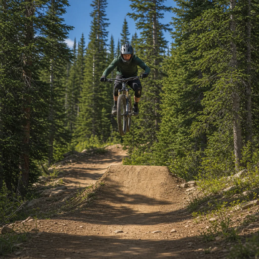
Smoke can make a familiar mountain bike ride a poor decision even when the trail is dry, the temperature feels comfortable, and the sky looks only slightly hazy. The main mistake is treating visibility as your air-quality report. Smoke can drift, thicken, or collect in valleys while conditions change during the time it takes to drive to the trailhead.
A sensible plan starts with current information, then reduces exposure and preserves an easy way to leave. You don’t need an elaborate expedition checklist. You need a clear answer to four questions: how unhealthy is the air, where will conditions be better, what route gives you options, and what will make you turn around?
Check the air before checking the trail
Use an official air-quality source for the area where you’ll actually ride, not just the nearest large town. In the United States, that usually means the local or regional air-quality agency, AirNow, or an official state or county resource. In Canada, check the relevant provincial or territorial service and the federal Air Quality Health Index where available. Wildfire smoke can vary substantially between nearby communities, especially across ridges and in valleys.
Look at the current reading, the forecast trend, and any wildfire smoke or special-air-quality statement. A single number is less useful than the direction of travel. If conditions have been worsening through the morning, an apparently manageable reading may be a poor basis for a long ride. Check again shortly before departure and consider checking during the ride if your route passes through different elevations or drainage areas.
Air-quality indexes are communication tools, not a guarantee that every rider will respond the same way. Your tolerance, health, exertion level, and time outdoors all matter. Hard climbing increases breathing rate, which increases the amount of smoky air you inhale. A short, easy ride near home is a different exposure decision from a three-hour ride with repeated steep climbs.
Confirm today’s smoke conditions: Before leaving, check the current official air-quality reading, the forecast for the hours you’ll be outside, and any local wildfire or trail-closure notice. If the information is delayed, unavailable, or changing quickly, treat that uncertainty as a reason to shorten the ride or choose an indoor plan.
If you or someone riding with you has asthma, heart or lung disease, is pregnant, is very young or older, or has previously reacted strongly to smoke, use a more conservative threshold and follow personal medical advice. You shouldn’t use a respirator or mask as permission to exercise hard in unhealthy air. A well-fitting particulate respirator may reduce inhaled particles in some situations, but it doesn’t remove every risk and can make breathing during strenuous riding more difficult.
Interpret the conditions at the trailhead
The trailhead gives you useful information, but it shouldn’t replace the official data. Notice whether you smell smoke, feel throat or eye irritation, or see ash and falling debris. Look at the surrounding ridges and valleys. A blue patch overhead doesn’t necessarily mean the air is clear where the trail climbs, and a distant haze can become much denser after you enter a sheltered drainage.
Visibility matters for more than comfort. Smoke can make it harder to see rocks, roots, riders, vehicles, and changes in trail direction. It can also flatten contrast, making a familiar descent look deceptively smooth. If you can’t clearly identify the trail surface and obstacles at the speed you intend to ride, slow down or choose a route with lower consequences.
Smell and irritation are warning signs, but their absence isn’t proof of safe conditions. People can notice smoke differently, and wind can move a plume away from the parking area and onto the trail later. Similarly, a light breeze may improve one part of a route while concentrating smoke in another.
Give yourself a short observation period before committing to the main loop. Walk around the trailhead, take a few easy minutes on a low-consequence section, and pay attention to coughing, unusual breathlessness, headache, dizziness, chest tightness, wheezing, or eye irritation. These symptoms are reasons to stop rather than test whether they will improve.
Choose the least exposed useful ride
When smoke is nearby, minimalist route planning usually beats trying to preserve the original adventure. Favor a route that is short, familiar, and easy to abandon. A rolling loop near the trailhead may be a better choice than a remote out-and-back, even if the latter is normally your preferred ride.
Elevation can cut both ways. Climbing above a smoke layer may improve conditions in some situations, while valleys can collect smoke under stable weather. In other situations, the smoke plume may affect higher terrain more severely. Don’t assume that “higher” or “lower” is automatically safer. Use local air-quality information, smoke maps, weather trends, and observations from the route rather than a general rule.
Consider how much exertion the route requires. A technical trail with frequent steep pitches, long hike-a-bikes, or limited places to stop demands more breathing effort and makes an early exit harder. A flatter route with several connecting roads or trail junctions gives you more control over exposure. It may be less exciting, but the point is to make a reasonable ride possible rather than force normal objectives into abnormal conditions.
If you’re riding with others, agree on the route and the limits before rolling. The strongest rider shouldn’t quietly turn a short smoke-aware outing into a longer ride, and the least experienced rider shouldn’t have to argue for a turnaround after symptoms appear. Everyone should know where the easy exits are and who has the final say if conditions deteriorate.
Build in route alternatives
Have three versions of the plan:
- Preferred ride: the route you’d take if air quality and visibility remain acceptable.
- Short option: a nearby loop or out-and-back with quick access to the vehicle.
- No-ride option: indoor training, bike maintenance, or a rescheduled outing.
The short option should be genuinely shorter, not merely the first half of a long route with a difficult return. Check whether roads or trails may be closed because of wildfire activity, emergency operations, poor visibility, or falling trees. A route that is open on a map can still be unsuitable or inaccessible in current conditions.
Avoid parking or riding near active fire operations, evacuation areas, smoke-filled roads, or places where emergency vehicles need access. Smoke may be only one part of the hazard. Fire behavior, wind shifts, unstable trees, poor visibility, and changing closures can make an ordinary trail system unsafe even when the flames aren't visible.
Set turnaround rules before you start
A turnaround decision is easier when it’s made in advance. Choose a time limit, distance limit, or landmark that keeps you close to the exit. Also decide which symptoms or environmental changes end the ride immediately. This prevents the familiar trap of continuing because you’ve already driven a long way or climbed most of the route.
Turn around or stop if smoke thickens noticeably, visibility drops, ash begins falling, the wind shifts smoke onto the trail, or you lose confidence in seeing obstacles and other trail users. Stop immediately for breathing difficulty, chest pain or tightness, significant wheezing, dizziness, confusion, severe headache, or symptoms that feel unusual for you. Move to cleaner air, contact your riding partners, and seek medical help for severe or persistent symptoms. Emergency symptoms deserve emergency care rather than a slow ride back to the car.
A practical rule is to turn around while the return is still easy. Don’t wait until you’re deep into a descent, committed to a technical feature, or far below the trailhead in a drainage. If the air feels worse on every climb or the sky is visibly changing, that’s enough information to end the ride even if the official reading hasn’t updated yet.
Pack for a quick, low-exposure exit
You don’t need to add every possible item to your pack. Carry the essentials that help you leave efficiently: water, a charged phone, basic repair supplies, identification, and whatever navigation method you normally use. Add an extra layer if smoke or a weather shift could make the ride back uncomfortable. Tell someone where you’re going and when you expect to return, particularly if the route is remote or wildfire activity is nearby.
A clean-air break in the vehicle can be useful if the vehicle’s ventilation system is operating properly and the windows remain closed, but don’t use the car as a reason to linger near a smoky trailhead. If you’re traveling with someone who is sensitive to smoke, plan an alternative location rather than assuming the parking area will be comfortable.
Protective eyewear can reduce irritation from dust and debris, but ordinary riding glasses don’t filter the air you breathe. Likewise, a damp cloth over your face isn’t a reliable substitute for appropriate respiratory protection. The simplest risk reduction is usually less time and less exertion in smoke, not more equipment.
Know when postponing is the better plan
Postponing is the right choice when current data is unavailable, conditions are trending worse, closures are active, visibility is poor, or the only available route requires hard exertion far from an exit. It’s also the right choice when someone in the group is already unwell or has a medical reason to avoid smoky air. A missed ride costs less than turning a recreational outing into a health problem or an unnecessary rescue situation.
If the air is acceptable but the smoke outlook is uncertain, choose a short local ride with a firm time limit rather than committing to a remote objective. If conditions improve, you can plan a fuller ride another day using the same route information. If they worsen, you’ll already be positioned to leave.
Before riding near wildfire smoke, check the official air-quality data and local fire information, then match the route to the least exposure and easiest exit. Watch the conditions at the trailhead, keep the effort moderate, and treat symptoms or deteriorating visibility as decisive information. A minimalist plan gives you fewer things to manage—and more freedom to turn around before the ride becomes a problem.